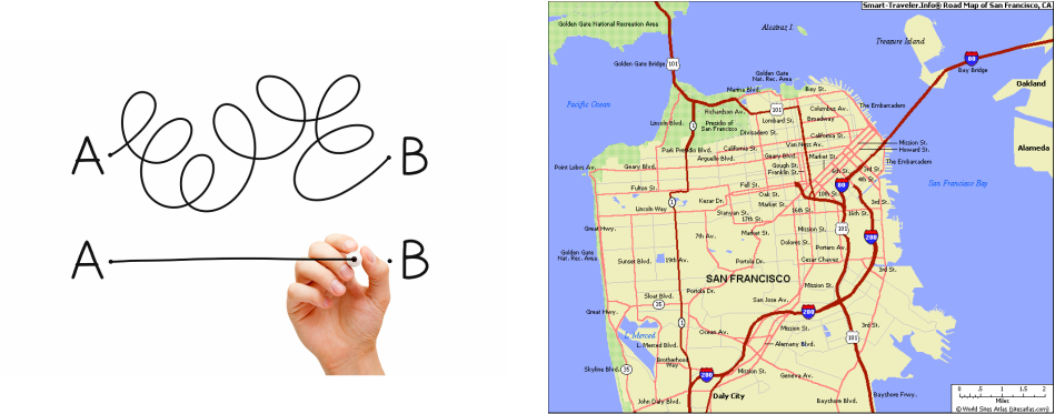
these maps are comely used to get people from point A to point B but they are very useful and one of the most common maps they show high ways ,roads, airports, parks and tracks. high ways show thick lines with dark or bold colours to make them stand out more, as with normal roads they use lighter colours and finer lines. here is a example, as you can see the dark thick red lines represent major roads and the light thinner pink lines represent roads